
Here's the citymm

.
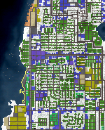
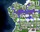
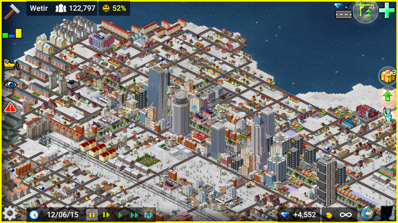
--Central City--
.
.
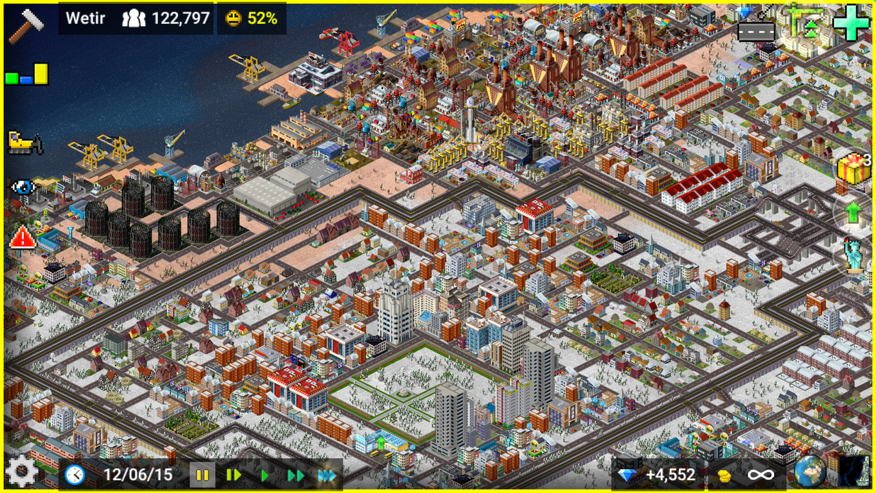
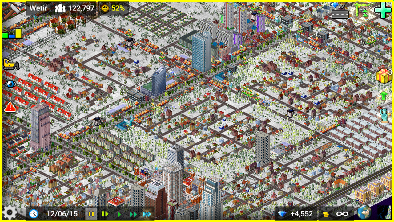
Central Downtown with the Wetir Courts housing project

.
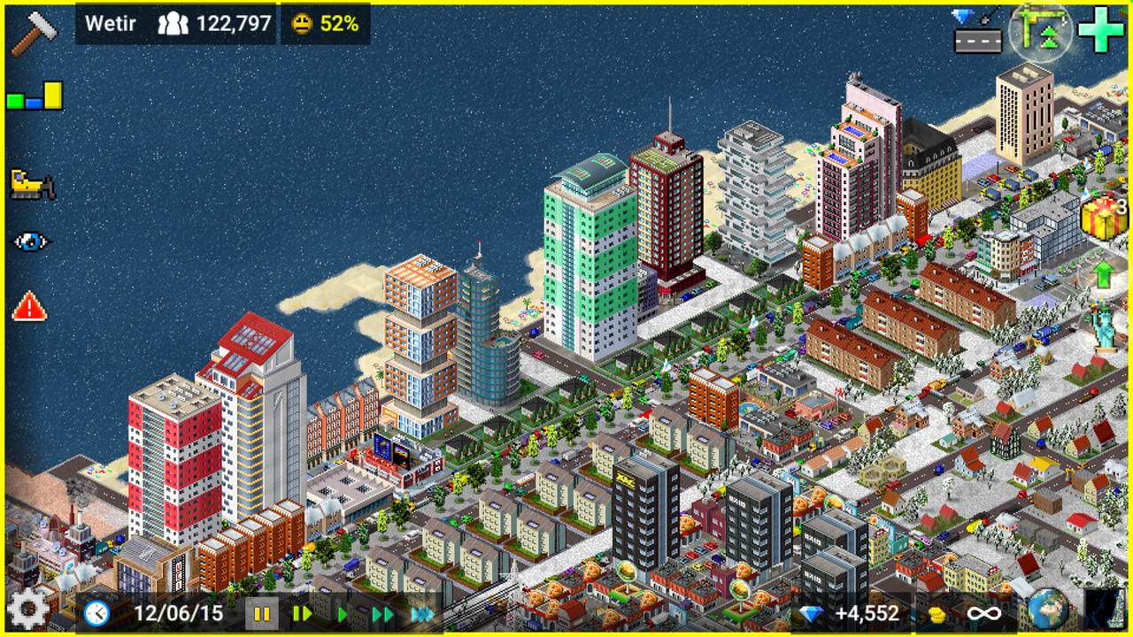
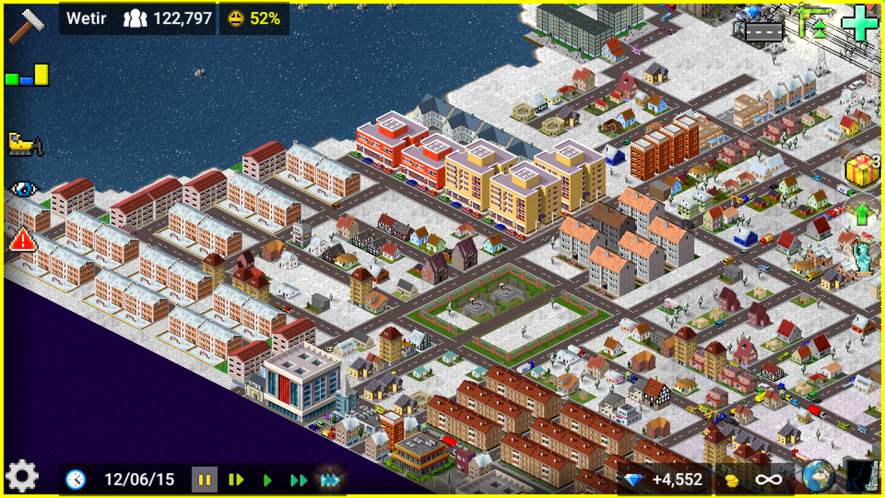
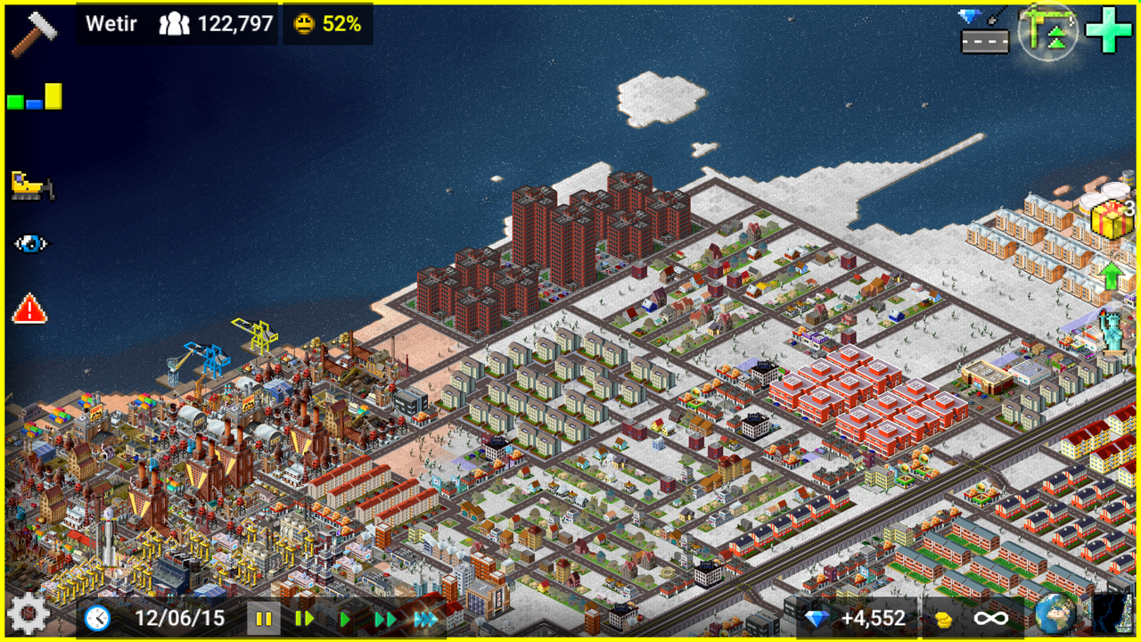
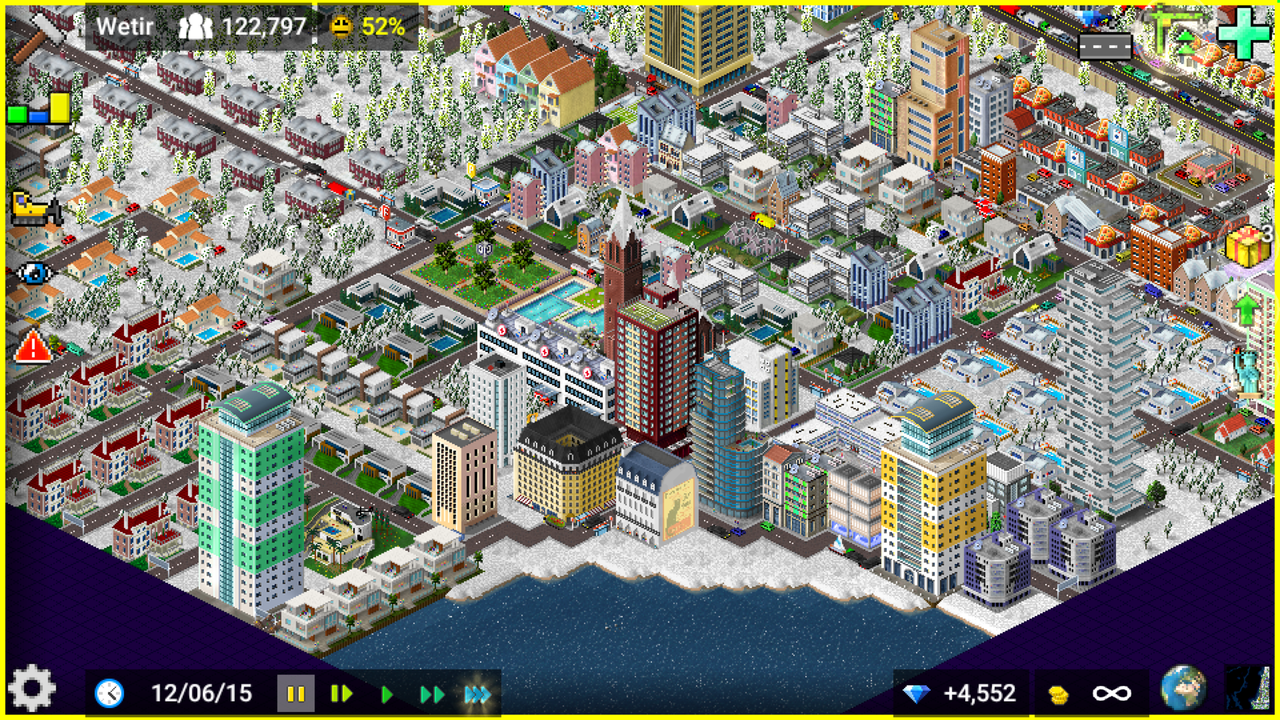
Norwalk Beach
.
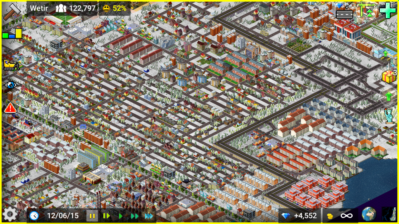
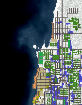
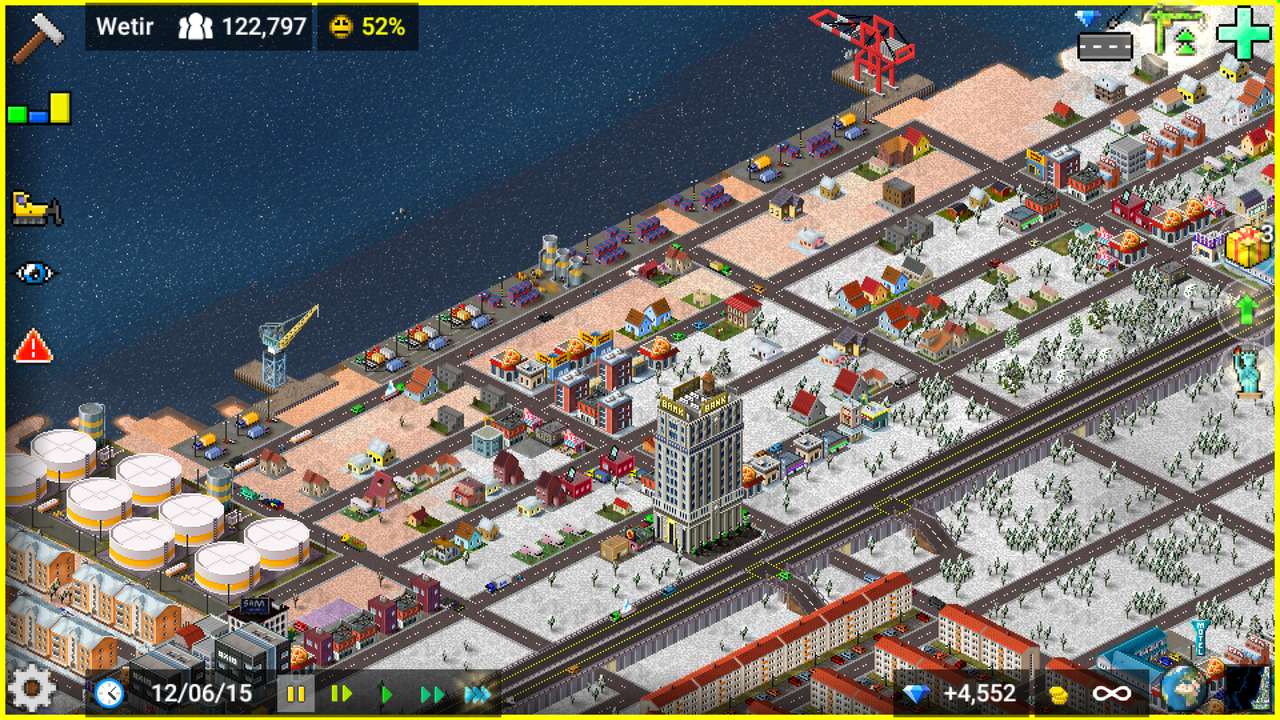
Northside & Eastside Central City
.
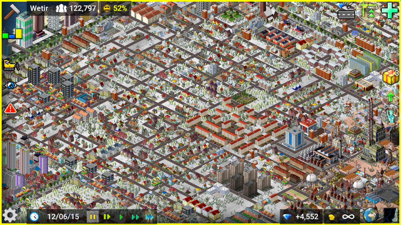
Southside Central City
.
-Fun Fact-
With a population of 88k, Central City is
the largest population center in Wetir!
.
--Westgrove--
.
.
Westgrove Central
.
El Barrio Desolado
.
-Fun Fact-
Westgrove has the highest foreign born percentage of any area in Wetir,
with 47% of its population being born outside the US!
.
--North Suburbs--
.
.
Northern Business District & Industrial Parks
.
North Industrial Park & Lahota Manor housing project
.
North Wetir City (also known as Ghost Town)
.
-Fun Fact-
The North Suburbs has had the largest population decrease of any area in Wetir,
going from 67k in 1960 to 27k in 2018 (a 59% decrease)!
.
--South Suburbs--
.
.
South-Central Wetir
.
Greenhaven
.
-Fun Fact-
Greenhaven has the highest average income of any area in Wetir,
with an average yearly income of $156,800!
.
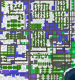
--Road Map of Wetir--
.

.
--Wetir Demographics--
Population: 234k
White: 30k (13%)
Black: 143k (61%)
Hispanic: 44k (19%)
Asian: 12k (5%)
Other: 5k (2%)
Per Capita Income: $18,101 (198th of 281)
Crime Rate (per 100k): 1710.7 (4th of 100)
.
Hope y'all like the post!


